Meridian Room (or Cassini Room) at the
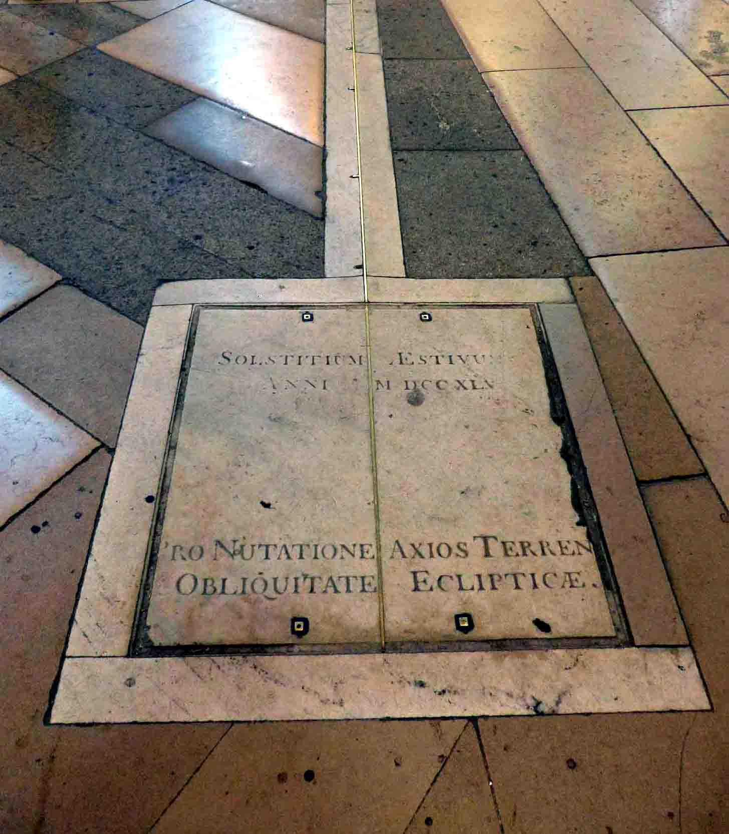
Paris Observatory, 61 avenue de l'Observatoire (14th arrondissement). The Paris meridian is traced on the floor.
The Paris meridian is a meridian line running through the Paris Observatory in Paris, France – now longitude 2°20′14.02500″ East. It was a long-standing rival to the Greenwich meridian as the prime meridian of the world. The "Paris meridian arc" or "French meridian arc" (French: la Méridienne de France) is the name of the meridian arc measured along the Paris meridian.[1]
The French meridian arc was important for French cartography, since the triangulations of France began with the measurement of the French meridian arc. Moreover, the French meridian arc was important for geodesy as it was one of the meridian arcs which were measured to determine the figure of the Earth via the arc measurement method.[1] The determination of the figure of the Earth was a problem of the highest importance in astronomy, as the diameter of the Earth was the unit to which all celestial distances had to be referred.[2]
History[edit]
French cartography and the figure of the Earth[edit]
Line of the Paris meridian

Map of the French coast, corrected by the
Academy of Sciences in 1682
In the year 1634, France ruled by Louis XIII and Cardinal Richelieu, decided that the Ferro Meridian through the westernmost of the Canary Islands should be used as the reference on maps, since El Hierro (Ferro) was the most western position of the Ptolemy's world map.[3] It was also thought to be exactly 20 degrees west of Paris.[3] The astronomers of the French Academy of Sciences, founded in 1666, managed to clarify the position of El Hierro relative to the meridian of Paris, which gradually supplanted the Ferro meridian.[3] In 1666, Louis XIV of France had authorized the building of the Paris Observatory. On Midsummer's Day 1667, members of the Academy of Sciences traced the future building's outline on a plot outside town near the Port Royal abbey, with Paris meridian exactly bisecting the site north–south.[4] French cartographers would use it as their prime meridian for more than 200 years.[3] Old maps from continental Europe often have a common grid with Paris degrees at the top and Ferro degrees offset by 20 at the bottom.[3]
A French astronomer, Abbé Jean Picard, measured the length of a degree of latitude along the Paris meridian (arc measurement) and computed from it the size of the Earth during 1668–1670.[1] The application of the telescope to angular instruments was an important step. He was the first who in 1669, with the telescope, using such precautions as the nature of the operation requires, measured a precise arc of meridian (Picard's arc measurement). He measured with wooden rods a baseline of 5,663 toises, and a second or base of verification of 3,902 toises; his triangulation network extended from Malvoisine, near Paris, to Sourdon, near Amiens. The angles of the triangles were measured with a quadrant furnished with a telescope having cross-wires. The difference of latitude of the terminal stations was determined by observations made with a sector on a star in Cassiopeia, giving 1° 22′ 55″ for the amplitude. The terrestrial degree measurement gave the length of 57,060 toises, whence he inferred 6,538,594 toises for the Earth's diameter.[2][5]
Four generations of the Cassini family headed the Paris Observatory.[6] They directed the surveys of France for over 100 years.[6] Hitherto geodetic observations had been confined to the determination of the magnitude of the Earth considered as a sphere, but a discovery made by Jean Richer turned the attention of mathematicians to its deviation from a spherical form. This astronomer, having been sent by the Academy of Sciences of Paris to the island of Cayenne (now in French Guiana) in South America, for the purpose of investigating the amount of astronomical refraction and other astronomical objects, observed that his clock, which had been regulated at Paris to beat seconds, lost about two minutes and a half daily at Cayenne, and that to bring it to measure mean solar time it was necessary to shorten the pendulum by more than a line (about 1⁄12th of an in.). This fact, which was scarcely credited till it had been confirmed by the subsequent observations of Varin and Deshayes on the coasts of Africa and America, was first explained in the third book of Newton’s Principia, who showed that it could only be referred to a diminution of gravity arising either from a protuberance of the equatorial parts of the Earth and consequent increase of the distance from the centre, or from the counteracting effect of the centrifugal force. About the same time (1673) appeared Christiaan Huygens’ De Horologio Oscillatorio, in which for the first time were found correct notions on the subject of centrifugal force. It does not, however, appear that they were applied to the theoretical investigation of the figure of the Earth before the publication of Newton's Principia. In 1690 Huygens published his De Causa Gravitatis, which contains an investigation of the figure of the Earth on the supposition that the attraction of every particle is towards the centre.
Between 1684 and 1718 Giovanni Domenico Cassini and Jacques Cassini, along with Philippe de La Hire, carried a triangulation, starting from Picard's base in Paris and extending it northwards to Dunkirk and southwards to Collioure. They measured a base of 7,246 toises near Perpignan, and a somewhat shorter base near Dunkirk; and from the northern portion of the arc, which had an amplitude of 2° 12′ 9″, obtained 56,960 toises for the length of a degree; while from the southern portion, of which the amplitude was 6° 18′ 57″, they obtained 57,097 toises. The immediate inference from this was that, with the degree diminishing with increasing latitude, the Earth must be a prolate spheroid. This conclusion was totally opposed to the theoretical investigations of Newton and Huygens, and accordingly the Academy of Sciences of Paris determined to apply a decisive test by the measurement of arcs at a great distance from each other – one in the neighbourhood of the equator, the other in a high latitude. Thus arose the celebrated French Geodesic Missions [fr], to the Equator and to Lapland, the latter directed by Pierre Louis Maupertuis.[2]

Map of France in 1720
In 1740 an account was published in the Paris Mémoires, by Cassini de Thury, of a remeasurement by himself and Nicolas Louis de Lacaille of the meridian of Paris. With a view to determine more accurately the variation of the degree along the meridian, they divided the distance from Dunkirk to Collioure into four partial arcs of about two degrees each, by observing the latitude at five stations. The results previously obtained by Giovanni Domenico and Jacques Cassini were not confirmed, but, on the contrary, the length of the degree derived from these partial arcs showed on the whole an increase with increasing latitude.[2]